
Surveys you can close on
Every survey is performed on the ground under the supervision of a Registered Professional Land Surveyor, and signed and sealed by him. We follow the Texas Society of Professional Surveyors Manual of Practice and the ALTA/NSPS minimum standards.
- Final and title surveys
- The survey a lender and title company need to close on a new home or the purchase of an existing one. We show the boundary, improvements, setbacks and recorded easements, and certify the survey to the parties in the title commitment.
- ALTA/NSPS land title surveys
- For apartment complexes, commercial buildings and other commercial property. In addition to the boundary and improvements, we report the Table A items your lender or buyer asks for, such as utilities, building area and height, zoning and parking.
- Boundary and acreage surveys
- Boundary retracement of lots and acreage tracts, including field notes (metes and bounds descriptions) for conveyance.
- Platting
- Platting acreage, combining small lots into one, or dividing a large lot into smaller ones. We provide the surveying and engineering, and coordinate with the city, county and utility agencies to move the plat through approval.
- Construction surveys
- Lot staking, boundary and easement staking, setback and form surveys, slab surveys and fence staking for builders and contractors.
- Elevation certificates
- FEMA elevation certificates for flood insurance and for building in or near a floodplain.
How a title survey is made
Abstracting
The title company or client orders the survey. We read the title commitment and its Schedules A and B, and pull the recorded plat, deed records and appraisal district maps.
Field work
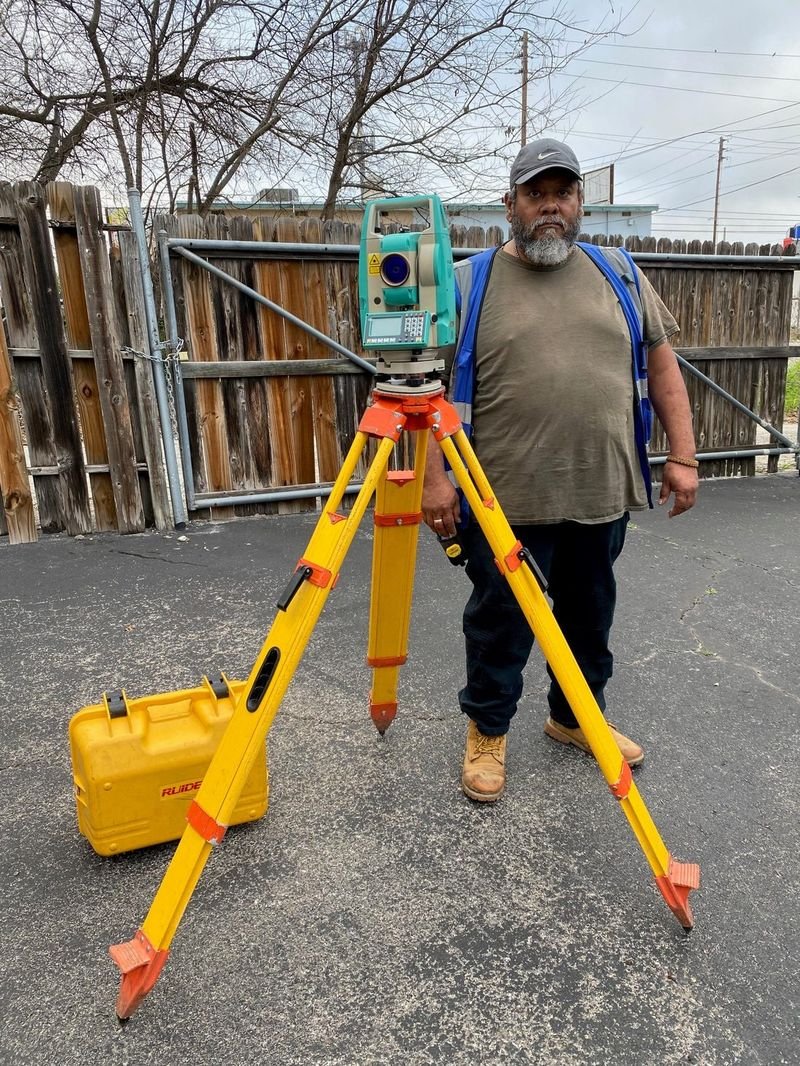
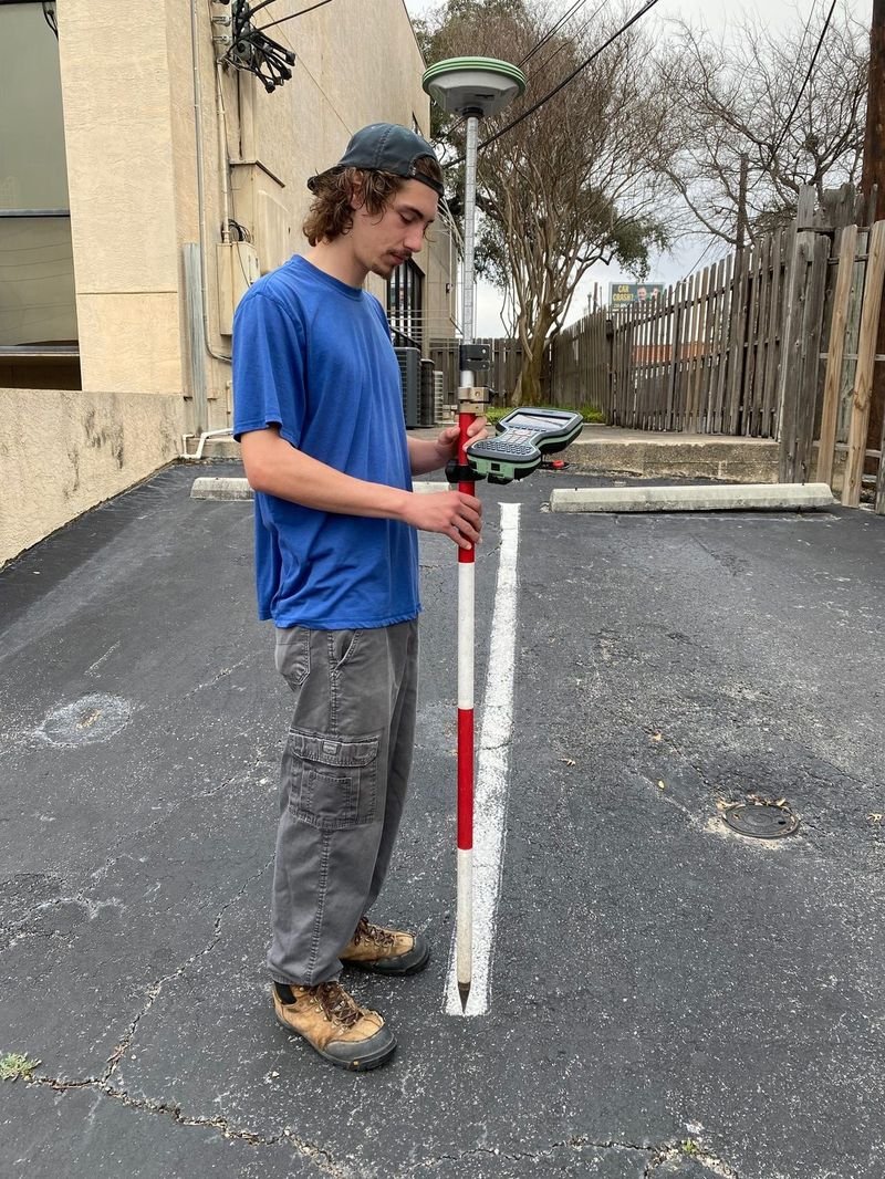
A survey crew finds the boundary monuments and measures the property and its improvements.
- Total station and GPS (GNSS) receiver
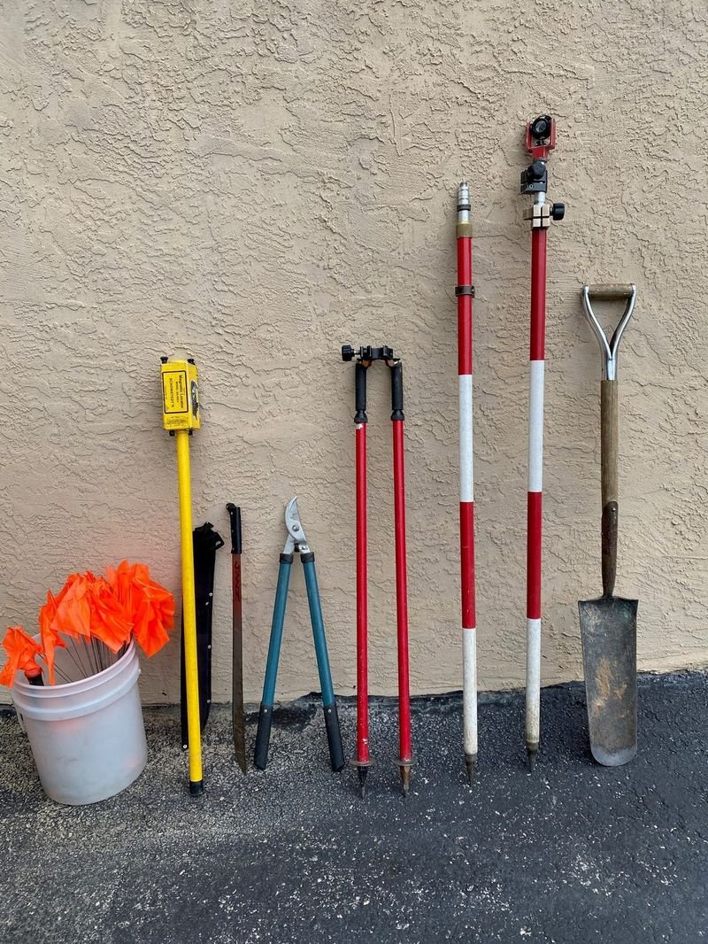
- Metal detector to find buried iron pins
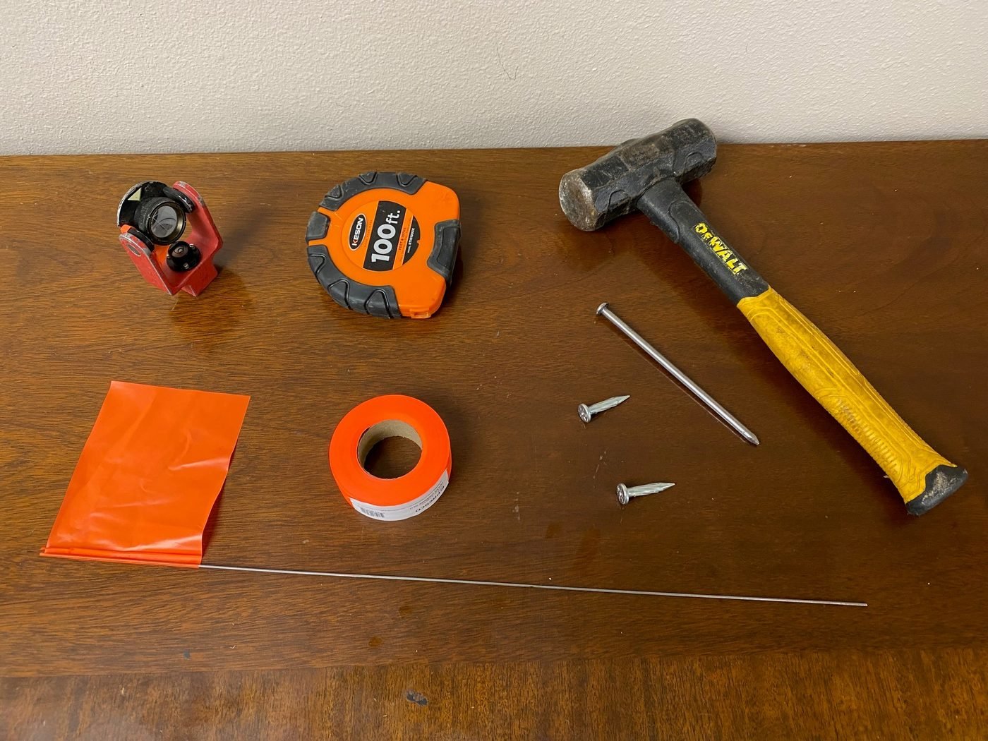
- Prism pole, bipod, tape, nails and flagging
Plat and certification
We draw the plat: bearings and distances, monuments, improvements, setbacks and easements. The surveyor certifies that the survey was made on the ground, then signs, seals and dates it.
In the field
What the abbreviations on a plat mean
Surveys use short labels to save space on the drawing. These are the ones you will see most often on our plats.
Sample plats are on the projects page, with client details removed.
Legend
- F.I.P.
- Found 1/2″ iron pin
- S.I.P.
- Set 1/2″ iron pin
- C.M.
- Controlling monument
- B.S.L.
- Building setback line
- U.E.
- Utility easement
- P.O.B.
- Point of beginning
- R.O.W.
- Right-of-way
- D.R. / O.P.R.
- Deed records / Official public records
- N 62°00′00″ E
- Bearing: the direction of a boundary line
- 578.34′
- Distance along that line, in feet
Free initial consultation
Call the office, call or text David Shrestha, P.E., R.P.L.S. on his cell, or send us the details of your property.